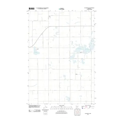
2010 Map of De Graff SE
USGS Topo · Published 2010About this map
Spring Creek Cemetery and Frank Lake Cemetery anchor the rural landscape of western Kandiyohi County in this early 21st-century survey. The area is defined by a systematic grid of gravel roads and a sophisticated water management network, evidenced by the presence of County Ditch Number One and County Ditch Number Sixtythree. These man-made channels support the agricultural viability of the land surrounding natural basins like Monson Lake and West Sunburg Lake. This 2010 edition illustrates the enduring nature of local community markers, where established burial grounds such as Hillcrest Cemetery remain prominent landmarks in an otherwise open, prairie-influenced terrain. The intersection of natural watercourses like Spring Creek with industrial drainage projects highlights the region's long-term environmental engineering.
Find a feature on this map
22 named features on this map. Tap any name to fly to it.
Don’t see what you’re looking for? This feature index may not catch every label — zoom into the map to look around manually.
Map Details
Editions of this 2010 De Graff SE Map
This is the sole edition of this map. No revisions or reprints were ever made.
Other maps of this area

1953 · Saint Cloud
USGS Topo · 1:250,000

1957 · Saint Cloud
USGS Topo · 1:250,000

1958 · Saint Cloud
USGS Topo · 1:250,000

1958 · Murdock
USGS Topo · 1:24,000

1958 · Kerkhoven
USGS Topo · 1:24,000

1958 · Pennock
USGS Topo · 1:24,000

1967 · Sunburg
USGS Topo · 1:24,000

1967 · Lake Johanna
USGS Topo · 1:24,000

1968 · De Graff
USGS Topo · 1:24,000

1968 · Lake Simon
USGS Topo · 1:24,000