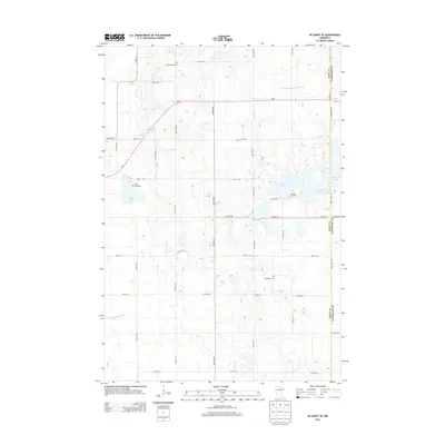
2013 Map of De Graff SE
USGS Topo · Published 2013About this map
Glacial lakes and meticulously planned section-line roads define this rural landscape in Kandiyohi and Swift Counties. The area is marked by a series of significant water bodies, including Monson Lake and Lake Frank, which served as anchors for early local communities. This 2013 survey illustrates a mature agricultural region where the natural hydrology, such as Spring Cr and the Hollerberg Floodway, exists alongside human engineered waterways like County Ditch Number One. Genealogists will find several burial grounds preserved across the landscape, including the Monson Lake Cem and Spring Creek Cem, which provide geographic links to the families who settled this prairie region. The transportation network is dominated by a grid of county highways and local connectors like MN-9 and Co HWY-18, tracing the path of rural development in west-central Minnesota.
Find a feature on this map
39 named features on this map. Tap any name to fly to it.
Don’t see what you’re looking for? This feature index may not catch every label — zoom into the map to look around manually.
Map Details
Editions of this 2013 De Graff SE Map
This is the sole edition of this map. No revisions or reprints were ever made.
Other maps of this area

1953 · Saint Cloud
USGS Topo · 1:250,000

1957 · Saint Cloud
USGS Topo · 1:250,000

1958 · Saint Cloud
USGS Topo · 1:250,000

1958 · Murdock
USGS Topo · 1:24,000

1958 · Kerkhoven
USGS Topo · 1:24,000

1958 · Pennock
USGS Topo · 1:24,000

1967 · Sunburg
USGS Topo · 1:24,000

1967 · Lake Johanna
USGS Topo · 1:24,000

1968 · De Graff
USGS Topo · 1:24,000

1968 · Lake Simon
USGS Topo · 1:24,000