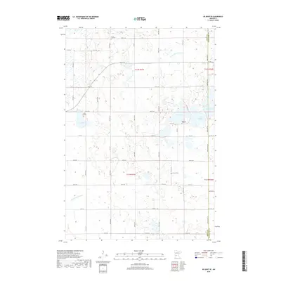
2019 Map of De Graff SE
USGS Topo · Published 2019About this map
The low-lying wetlands of western Kandiyohi County define this landscape, where the border with Swift County is marked by a network of drainage systems and glacial lakes. Scattered throughout the rural township sections are several small burial grounds that serve as primary markers of early settlement, including Spring Creek Cem and Frank Lake Cem. These sites, alongside Monson Lake Cem and Hillcrest Cem, provide essential anchor points for genealogical research in this sparsely populated agricultural region.
Find a feature on this map
50 named features on this map. Tap any name to fly to it.
Don’t see what you’re looking for? This feature index may not catch every label — zoom into the map to look around manually.
Map Details
Editions of this 2019 De Graff SE Map
This is the sole edition of this map. No revisions or reprints were ever made.
Other maps of this area

1953 · Saint Cloud
USGS Topo · 1:250,000

1957 · Saint Cloud
USGS Topo · 1:250,000

1958 · Saint Cloud
USGS Topo · 1:250,000

1958 · Murdock
USGS Topo · 1:24,000

1958 · Kerkhoven
USGS Topo · 1:24,000

1958 · Pennock
USGS Topo · 1:24,000

1967 · Sunburg
USGS Topo · 1:24,000

1967 · Lake Johanna
USGS Topo · 1:24,000

1968 · De Graff
USGS Topo · 1:24,000

1968 · Lake Simon
USGS Topo · 1:24,000