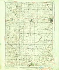
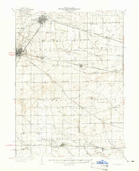
1937 Map of De Kalb
USGS Topo · Published 1937About this map
The Lincoln Highway cuts a historic path across this mid-1930s landscape, passing through the growing hubs of Creston, Malta, and De Kalb. At this time, the region is a dense network of family farms supported by an extraordinary number of one-room country schools, such as Toad Hollow Sch, Alms Sch, and Willow Center Sch. This distribution reveals a rural society built on walking distances and localized community centers before the mid-century trend toward school consolidation.
Find a feature on this map
79 named features on this map. Tap any name to fly to it.
Don’t see what you’re looking for? This feature index may not catch every label — zoom into the map to look around manually.
Map Details
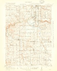
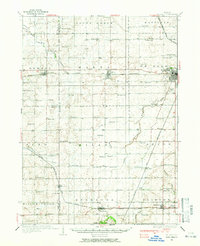
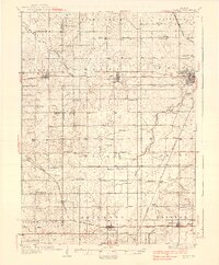
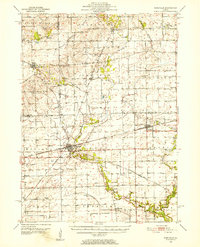
Editions of this 1937 De Kalb Map
2 editions found
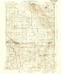
Other maps of this area

1917 · Kings
USGS Topo · 1:62,500
1918 · Kings
USGS Topo · 1:62,500

1918 · Kirkland
USGS Topo · 1:62,500
1934 · De Kalb
USGS Topo · 1:62,500
1937 · De Kalb
USGS Topo · 1:62,500
1937 · Sycamore
USGS Topo · 1:62,500
1938 · Genoa
USGS Topo · 1:62,500

1948 · Sandwich
USGS Topo · 1:62,500

1950 · Sandwich
USGS Topo · 1:62,500
1951 · Earlville
USGS Topo · 1:62,500
Featured Places
- DeKalb, DeKalb Township
- Rochelle, IL
- Waterman, Clinton Township
- Malta, Malta Township
- Shabbona, Shabbona Township