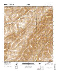
2014 Map of De Long Mountains A-5 NE
USGS Topo · Published 2014About this map
Kukpuk River meanders across the northern reaches of this Arctic terrain, providing a rare hydrological anchor in an otherwise high-elevation wilderness. This 2014 survey captures a remote landscape where political and administrative boundaries are the primary human markers. The map clearly delineates the dividing line between the North Slope Borough and the Northwest Arctic Borough, cutting through the mountainous interior. In this sparsely labeled region, the terrain itself is the subject, with tight contour lines illustrating the complex topography and drainage patterns characteristic of the Brooks Range foothills. For those studying indigenous land use or modern administrative boundaries in northern Alaska, this sheet provides exact placement for the river and the borough border within the Public Land Survey System grids.
Find a feature on this map
6 named features on this map. Tap any name to fly to it.
Don’t see what you’re looking for? This feature index may not catch every label — zoom into the map to look around manually.
Map Details
Editions of this 2014 De Long Mountains A-5 NE Map
This is the sole edition of this map. No revisions or reprints were ever made.
Other maps of this area

1951 · De Long Mountains
USGS Topo · 1:250,000

1955 · De Long Mountains
USGS Topo · 1:250,000

1955 · De Long Mountains A-4
USGS Topo · 1:63,360
1955 · De Long Mountains A-5
USGS Topo · 1:63,360
1955 · De Long Mountains B-5
USGS Topo · 1:63,360
1955 · De Long Mountains B-4
USGS Topo · 1:63,360

1965 · De Long Mountains
USGS Topo · 1:250,000
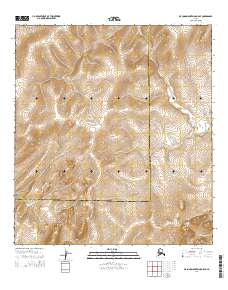
2014 · De Long Mountains A-5 SE
USGS Topo · 1:25,000
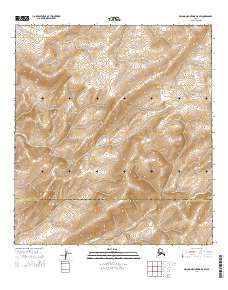
2014 · De Long Mountains A-5 SW
USGS Topo · 1:25,000
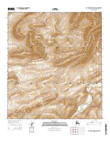
2014 · De Long Mountains B-5 SE
USGS Topo · 1:25,000