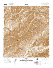
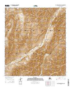
2015 Map of De Long Mountains B-3 SW
USGS Topo · Published 2015About this map
The Kukpuk River and Kivalina River systems define this high-latitude terrain within the De Long Mountains, where drainage patterns reveal a complex network of seasonal watercourses. The landscape is characterized by prominent elevations such as Kipalak Ridge in the central portion and the southeastern peaks of Satsiksuk Mtn and Ipkagnaktaugrak Mtn. Surveyed for the North Slope Borough, the map details the Public Land Survey System divisions, including townships T34N R22W and T34N R21W, providing a precise look at the remote interior before significant modern infrastructure. This 2015 update, based on SPOT imagery and National Elevation Dataset contours, serves as a critical record of the hydrological and topographical features in this Arctic environment.
Find a feature on this map
11 named features on this map. Tap any name to fly to it.
Don’t see what you’re looking for? This feature index may not catch every label — zoom into the map to look around manually.
Map Details
Editions of this 2015 De Long Mountains B-3 SW Map
This is the sole edition of this map. No revisions or reprints were ever made.
Other maps of this area

1951 · De Long Mountains
USGS Topo · 1:250,000

1955 · De Long Mountains
USGS Topo · 1:250,000

1955 · De Long Mountains A-3
USGS Topo · 1:63,360

1955 · De Long Mountains A-4
USGS Topo · 1:63,360

1955 · De Long Mountains B-3
USGS Topo · 1:63,360
1955 · De Long Mountains B-4
USGS Topo · 1:63,360

1965 · De Long Mountains
USGS Topo · 1:250,000
2015 · De Long Mountains B-4 NE
USGS Topo · 1:25,000
2015 · De Long Mountains B-3 NE
USGS Topo · 1:25,000
2015 · De Long Mountains B-4 SE
USGS Topo · 1:25,000