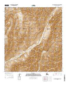
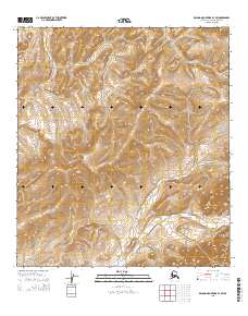
2015 Map of De Long Mountains B-4 SE
USGS Topo · Published 2015About this map
The De Long Mountains define the high terrain of this remote corner of the Alaska-North Slope Borough, where sharp elevation changes are captured in this 2015 U.S. Geological Survey topographic record. The landscape is dominated by the watershed of the Kukpuk River, which flows westward through the lower elevations, while the Kivalina River cuts through the southeastern portion of the quadrangle. A prominent geological formation, Spiny Ridge, runs along the southern edge of the map, providing a natural barrier between these two drainage systems. The survey is primarily an environmental and topographic study of an unpopulated wilderness area, detailing the complex hydrology and relief of the Arctic foothills before they meet the coastal plains.
Find a feature on this map
10 named features on this map. Tap any name to fly to it.
Don’t see what you’re looking for? This feature index may not catch every label — zoom into the map to look around manually.
Map Details
Editions of this 2015 De Long Mountains B-4 SE Map
This is the sole edition of this map. No revisions or reprints were ever made.
Other maps of this area

1951 · De Long Mountains
USGS Topo · 1:250,000

1955 · De Long Mountains
USGS Topo · 1:250,000

1955 · De Long Mountains A-3
USGS Topo · 1:63,360

1955 · De Long Mountains A-4
USGS Topo · 1:63,360

1955 · De Long Mountains B-3
USGS Topo · 1:63,360
1955 · De Long Mountains B-4
USGS Topo · 1:63,360

1965 · De Long Mountains
USGS Topo · 1:250,000
2015 · De Long Mountains B-4 NE
USGS Topo · 1:25,000
2015 · De Long Mountains A-4 NW
USGS Topo · 1:25,000
2015 · De Long Mountains B-3 SW
USGS Topo · 1:25,000