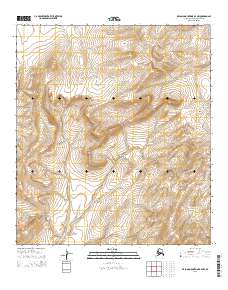
2015 Map of De Long Mountains B-4 NW
USGS Topo · Published 2015About this map
The remote topography of the T11s R53w and T11s R52w townships defines this high-latitude landscape within the Alaska North Slope Borough. This 2015 survey by the U.S. Geological Survey documents a wilderness environment shaped by the drainage patterns of the De Long Mountains. The area is characterized by high-elevation ridgelines and the headwaters of numerous unnamed streams, with contour intervals at 20 feet revealing the intricate drainage basins that define the region south of the Arctic coast. The map serves primarily as a record of the Public Land Survey System (PLSS) grid, showing the boundaries between T12s R53w and surrounding tracts in a territory largely devoid of named settlements or man-made infrastructure. This data provides essential geodetic grounding for the North American Datum of 1983 in a territory where natural landforms are the primary landmarks.
Find a feature on this map
4 named features on this map. Tap any name to fly to it.
Don’t see what you’re looking for? This feature index may not catch every label — zoom into the map to look around manually.
Map Details
Editions of this 2015 De Long Mountains B-4 NW Map
This is the sole edition of this map. No revisions or reprints were ever made.
Other maps of this area

1951 · De Long Mountains
USGS Topo · 1:250,000

1955 · De Long Mountains
USGS Topo · 1:250,000

1955 · De Long Mountains C-4
USGS Topo · 1:63,360

1955 · De Long Mountains C-5
USGS Topo · 1:63,360
1955 · De Long Mountains B-5
USGS Topo · 1:63,360
1955 · De Long Mountains B-4
USGS Topo · 1:63,360

1965 · De Long Mountains
USGS Topo · 1:250,000
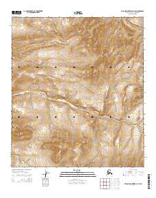
2014 · De Long Mountains C-4 SE
USGS Topo · 1:25,000
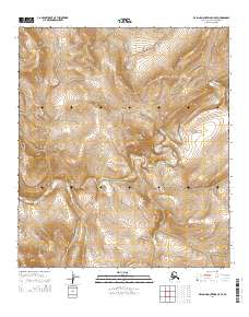
2014 · De Long Mountains C-5 SE
USGS Topo · 1:25,000
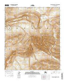
2014 · De Long Mountains C-4 SW
USGS Topo · 1:25,000