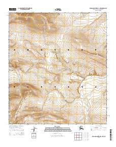
2015 Map of De Long Mountains C-1 NW
USGS Topo · Published 2015About this map
Tingmerkpuk River winds through the southern reaches of this Arctic terrain, establishing the primary drainage pattern for the North Slope landscape. The topography is defined by high-elevation ridges and valleys, where seasonal watercourses like Surprise Cr and Eagle Cr carve through the De Long Mountains. This 2015 survey illustrates a wilderness defined by its hydrology and legal boundaries, including t8s r45w and t9s r45w, rather than human settlement. The absence of roads or structures emphasizes the isolation of the De Long Mountains, where the natural elevation contours are the dominant features of interest for those studying the remote geography of northern Alaska.
Find a feature on this map
8 named features on this map. Tap any name to fly to it.
Don’t see what you’re looking for? This feature index may not catch every label — zoom into the map to look around manually.
Map Details
Editions of this 2015 De Long Mountains C-1 NW Map
This is the sole edition of this map. No revisions or reprints were ever made.
Other maps of this area

1951 · De Long Mountains
USGS Topo · 1:250,000

1955 · De Long Mountains
USGS Topo · 1:250,000

1955 · De Long Mountains D-2
USGS Topo · 1:63,360
1955 · De Long Mountains D-1
USGS Topo · 1:63,360
1955 · De Long Mountains C-2
USGS Topo · 1:63,360
1955 · De Long Mountains C-1
USGS Topo · 1:63,360

1965 · De Long Mountains
USGS Topo · 1:250,000
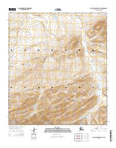
2015 · De Long Mountains C-1 SE
USGS Topo · 1:25,000
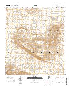
2015 · De Long Mountains D-1 SW
USGS Topo · 1:25,000
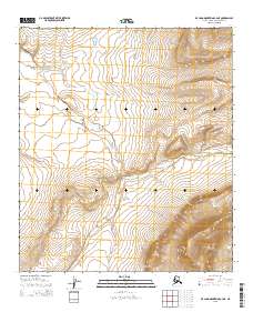
2015 · De Long Mountains C-2 NE
USGS Topo · 1:25,000