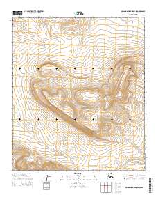
2015 Map of De Long Mountains D-1 SW
USGS Topo · Published 2015About this map
Poko Mtn rises above the high-latitude terrain of this remote portion of the Alaska North Slope, where the landscape is defined by dramatic elevation changes and a network of seasonal watercourses. The drainage of Surprise Cr cuts across the southern quadrants, carving through the high country as part of a larger watershed system in the North Slope. This 2015 survey represents the physical geography of the De Long Mountains during a period of modern topographic documentation by the U.S. Geological Survey. The map's detailed contouring reveals the complex structure of the region's ridges and valleys, illustrating the natural barriers and pathways that have historically governed movement across this arctic environment.
Find a feature on this map
7 named features on this map. Tap any name to fly to it.
Don’t see what you’re looking for? This feature index may not catch every label — zoom into the map to look around manually.
Map Details
Editions of this 2015 De Long Mountains D-1 SW Map
This is the sole edition of this map. No revisions or reprints were ever made.
Other maps of this area

1951 · De Long Mountains
USGS Topo · 1:250,000

1955 · De Long Mountains
USGS Topo · 1:250,000

1955 · De Long Mountains D-2
USGS Topo · 1:63,360
1955 · De Long Mountains D-1
USGS Topo · 1:63,360
1955 · De Long Mountains C-2
USGS Topo · 1:63,360
1955 · De Long Mountains C-1
USGS Topo · 1:63,360

1965 · De Long Mountains
USGS Topo · 1:250,000
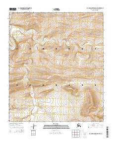
2014 · De Long Mountains D-2 NE
USGS Topo · 1:25,000
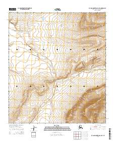
2015 · De Long Mountains C-2 NE
USGS Topo · 1:25,000
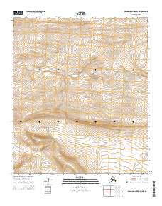
2015 · De Long Mountains D-1 NW
USGS Topo · 1:25,000