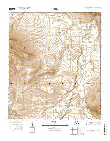
2015 Map of De Long Mountains D-1 SE
USGS Topo · Published 2015About this map
Kokolik River and the Tingmerkpuk River wind through the Arctic coastal plain in this remote portion of the North Slope. Surveyed by the U.S. Geological Survey using modern imagery, the map reveals a landscape defined by complex hydrography and elevation contours. The braided nature of the river systems suggests a dynamic environment where water courses shift across the tundra. This map illustrates the Public Land Survey System divisions, including t7s r43w and t8s r44w, providing a precise record of the territorial organization in this sparsely inhabited region of Alaska.
Find a feature on this map
7 named features on this map. Tap any name to fly to it.
Don’t see what you’re looking for? This feature index may not catch every label — zoom into the map to look around manually.
Map Details
Editions of this 2015 De Long Mountains D-1 SE Map
This is the sole edition of this map. No revisions or reprints were ever made.
Other maps of this area

1951 · De Long Mountains
USGS Topo · 1:250,000

1951 · Misheguk Mountain
USGS Topo · 1:250,000

1955 · De Long Mountains
USGS Topo · 1:250,000
1955 · De Long Mountains D-1
USGS Topo · 1:63,360
1955 · De Long Mountains C-1
USGS Topo · 1:63,360

1956 · Misheguk Mountain
USGS Topo · 1:250,000

1965 · De Long Mountains
USGS Topo · 1:250,000
1984 · Misheguk Mountain C-5
USGS Topo · 1:63,360
1984 · Misheguk Mountain D-5
USGS Topo · 1:63,360
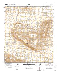
2015 · De Long Mountains D-1 SW
USGS Topo · 1:25,000