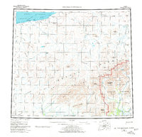
1955 Map of De Long Mountains
USGS Topo · Published 1980About this map
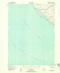
Noatak National Monument occupies the southeastern corner of this map, reflecting a time of significant federal land conservation in the Arctic. The landscape is defined by the De Long Mountains and the intricate drainage basins of the Kukpowruk River, Wulik River, and Kokolik River. Resource exploration is evident along the coast of the Chukchi Sea, where Thetis Mine and a Drill Hole near Poko Mountain signal industrial interest in this remote area during the mid-20th century.
Find a feature on this map
55 named features on this map. Tap any name to fly to it.
Don’t see what you’re looking for? This feature index may not catch every label — zoom into the map to look around manually.
Map Details
Editions of this 1955 De Long Mountains Map
5 editions found

Other maps of this area

1951 · De Long Mountains
USGS Topo · 1:250,000

1951 · Baird Mountains
USGS Topo · 1:250,000

1951 · Utukok River
USGS Topo · 1:250,000

1951 · Noatak
USGS Topo · 1:250,000

1951 · Point Lay
USGS Topo · 1:250,000

1951 · Misheguk Mountain
USGS Topo · 1:250,000

1952 · Point Hope
USGS Topo · 1:250,000
1952 · Noatak D-7
USGS Topo · 1:63,360

1952 · Point Hope D-1
USGS Topo · 1:63,360

1955 · Noatak
USGS Topo · 1:250,000