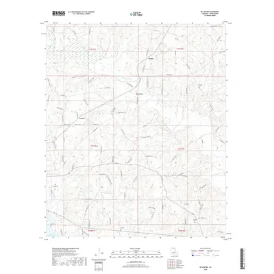
2018 Map of De Loutre
USGS Topo · Published 2018About this map
Bayou de Loutre meanders through the heart of Union Parish, defining the drainage patterns and transportation corridors of this rural Louisiana landscape. Small settlements and named crossroads like De Loutre, Quigley, and Canbeal serve as local anchors, connected by a network of parish roads such as Tiger Bend Rd and Albritton Ford Rd. The geography is deeply tied to family and community history, evidenced by numerous burial grounds including Taylor Cem and Edwards Cem.
Find a feature on this map
100 named features on this map. Tap any name to fly to it.
Don’t see what you’re looking for? This feature index may not catch every label — zoom into the map to look around manually.
Map Details
Editions of this 2018 De Loutre Map
This is the sole edition of this map. No revisions or reprints were ever made.
Other maps of this area

1935 · Drew
USGS Topo · 1:62,500

1935 · Haile
USGS Topo · 1:62,500

1952 · Calhoun
USGS Topo · 1:62,500

1952 · Farmerville
USGS Topo · 1:62,500

1955 · Shreveport
USGS Topo · 1:250,000

1956 · Shreveport
USGS Topo · 1:250,000

1956 · Haile
USGS Topo · 1:62,500

1957 · Monroe North
USGS Topo · 1:62,500
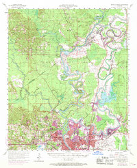
1969 · Monroe North
USGS Topo · 1:62,500
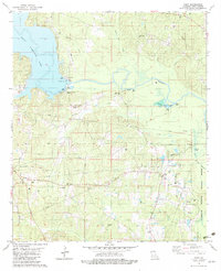
1982 · Point
USGS Topo · 1:24,000