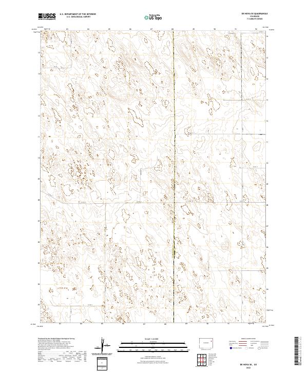
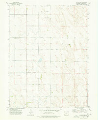
2022 Map of De Nova SE
USGS Topo · Published 2022About this map
The boundary line between Washington Co and Yuma Co bisects this High Plains landscape, where the geometry of the Public Land Survey System is etched into the earth by a network of rural section roads. This 2022 survey documents a sparsely populated agricultural expanse defined by the townships of t2s r49w, t2s r48w, t3s r49w, and t3s r48w. The land use is primarily reflected in the persistent grid of county roads, such as Co Rd 16 and Co Rd 13, which provide access to remote acreage. The terrain is characterized by subtle depressions and low rises, typical of the arid eastern Colorado plains, where even minor changes in elevation influence the placement of the rudimentary road system. This map is an essential reference for understanding the modern persistence of historic homesteading patterns in this quiet corner of the state.
Find a feature on this map
19 named features on this map. Tap any name to fly to it.
Don’t see what you’re looking for? This feature index may not catch every label — zoom into the map to look around manually.
Map Details
Editions of this 2022 De Nova SE Map
This is the sole edition of this map. No revisions or reprints were ever made.
Other maps of this area

1954 · Limon
USGS Topo · 1:250,000

1957 · Limon
USGS Topo · 1:250,000

1958 · Limon
USGS Topo · 1:250,000

1968 · Joes
USGS Topo · 1:24,000

1974 · De Nova SE
USGS Topo · 1:24,000
1974 · Abarr
USGS Topo · 1:24,000
1974 · De Nova NE
USGS Topo · 1:24,000
1974 · Beverly Grove
USGS Topo · 1:24,000
1974 · De Nova NW
USGS Topo · 1:24,000

1977 · Cope
USGS Topo · 1:24,000