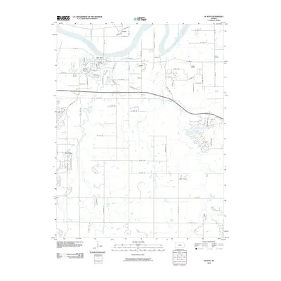
2009 Map of De Soto
USGS Topo · Published 2009About this map
The Kansas River defines the northern landscape of this region, where the town of De Soto serves as a primary hub. This 2009 survey shows the area's transition between river-oriented industry and suburban growth, centered on the De Soto Post Office and nearby residential streets. The infrastructure of the era is evident in the De Soto Railroad Bridge crossing the river, connecting the community to Lenape on the opposite bank.
Find a feature on this map
85 named features on this map. Tap any name to fly to it.
Don’t see what you’re looking for? This feature index may not catch every label — zoom into the map to look around manually.
Map Details
Editions of this 2009 De Soto Map
This is the sole edition of this map. No revisions or reprints were ever made.
Other maps of this area

1885 · Lawrence
USGS Topo · 1:125,000

1886 · Oskaloosa
USGS Topo · 1:125,000

1887 · Olathe
USGS Topo · 1:125,000

1888 · Oskaloosa
USGS Topo · 1:125,000

1889 · Lawrence
USGS Topo · 1:125,000

1890 · Kansas City
USGS Topo · 1:125,000

1893 · Olathe
USGS Topo · 1:125,000

1894 · Kansas City
USGS Topo · 1:125,000

1894 · Oskaloosa
USGS Topo · 1:125,000

1934 · Bonner Springs
USGS Topo · 1:48,000