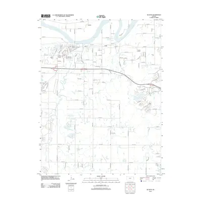
2012 Map of De Soto
USGS Topo · Published 2012About this map
The Kansas River defines the northern boundary of this landscape, where the De Soto Railroad Bridge serves as a critical infrastructure link. Small settlements like Cedar and Lenape are positioned near the river, illustrating the historical importance of the waterway for early commerce and transit. To the south, the terrain shifts into a series of managed recreation areas and watersheds, including Johnson County Kill Creek Park North and its associated reservoirs, Kill Creek Pond North and Kill Creek Pond South. This area reflects the mid-latitude transition from riverfront industry to organized suburban expansion. Local heritage is preserved at sites like De Soto Cem and the Murphy Cem, providing genealogical anchor points. The map further documents the transportation network of Johnson County, from the Cedar Air Park to the developing residential corridors near New Olathe Lake.
Find a feature on this map
110 named features on this map. Tap any name to fly to it.
Don’t see what you’re looking for? This feature index may not catch every label — zoom into the map to look around manually.
Map Details
Editions of this 2012 De Soto Map
This is the sole edition of this map. No revisions or reprints were ever made.
Other maps of this area

1885 · Lawrence
USGS Topo · 1:125,000

1886 · Oskaloosa
USGS Topo · 1:125,000

1887 · Olathe
USGS Topo · 1:125,000

1888 · Oskaloosa
USGS Topo · 1:125,000

1889 · Lawrence
USGS Topo · 1:125,000

1890 · Kansas City
USGS Topo · 1:125,000

1893 · Olathe
USGS Topo · 1:125,000

1894 · Kansas City
USGS Topo · 1:125,000

1894 · Oskaloosa
USGS Topo · 1:125,000

1934 · Bonner Springs
USGS Topo · 1:48,000