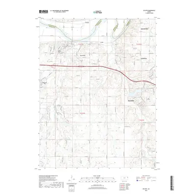
2018 Map of De Soto
USGS Topo · Published 2018About this map
The Kansas River serves as a natural boundary in this 2018 survey, separating Leavenworth and Johnson counties. The city of De Soto occupies a central position, defined by its historic De Soto Railroad Bridge and the De Soto Cem. This modern landscape shows a transition between traditional riverfront commerce and suburban expansion, particularly toward the east into Lenexa and Shawnee, and south into the residential fringes of Olathe.
Find a feature on this map
53 named features on this map. Tap any name to fly to it.
Don’t see what you’re looking for? This feature index may not catch every label — zoom into the map to look around manually.
Map Details
Editions of this 2018 De Soto Map
This is the sole edition of this map. No revisions or reprints were ever made.
Other maps of this area

1885 · Lawrence
USGS Topo · 1:125,000

1886 · Oskaloosa
USGS Topo · 1:125,000

1887 · Olathe
USGS Topo · 1:125,000

1888 · Oskaloosa
USGS Topo · 1:125,000

1889 · Lawrence
USGS Topo · 1:125,000

1890 · Kansas City
USGS Topo · 1:125,000

1893 · Olathe
USGS Topo · 1:125,000

1894 · Kansas City
USGS Topo · 1:125,000

1894 · Oskaloosa
USGS Topo · 1:125,000

1934 · Bonner Springs
USGS Topo · 1:48,000