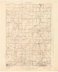
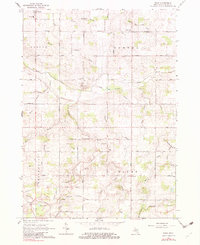
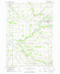
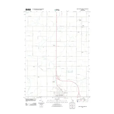
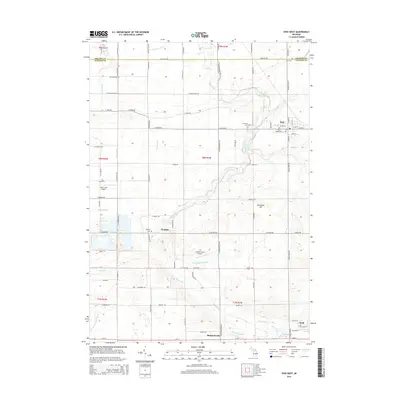
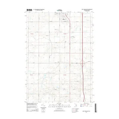
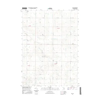
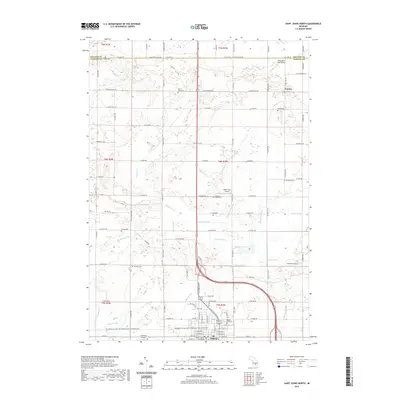
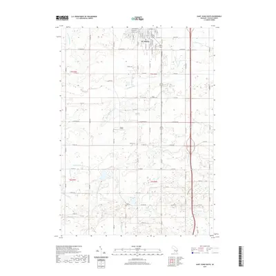
1927 Map of De Witt
USGS Topo · Published 1927About this map
Looking Glass River and the Grand River carve through the landscape of Clinton and Eaton Counties on this 1920s-era topographic survey. The region is defined by a dense network of township-section agriculture, where nearly every square mile is anchored by a local schoolhouse. Notable among these are Bengal Center School, County Farm School, and the Rhembottom School. The southern edge of the map shows the emerging outskirts of Lansing and Grand Ledge, while the interior remains deeply rural.
Find a feature on this map
85 named features on this map. Tap any name to fly to it.
Don’t see what you’re looking for? This feature index may not catch every label — zoom into the map to look around manually.
Map Details
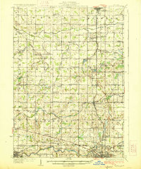
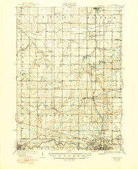
Editions of this 1927 De Witt Map
3 editions found
Historical Maps of Lansing Through Time
37 maps found
1927 De Witt
Clinton County, MI
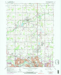
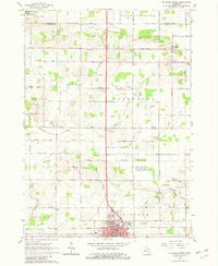
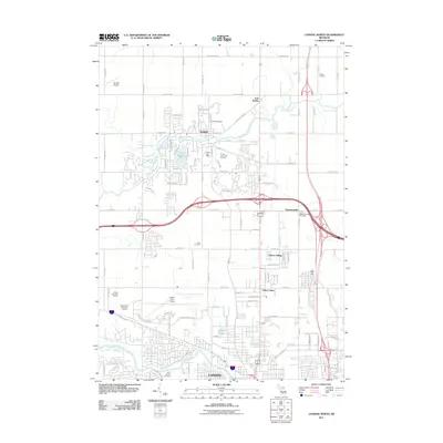
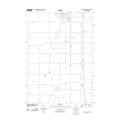
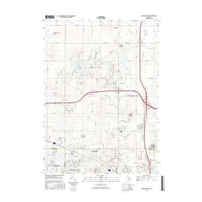
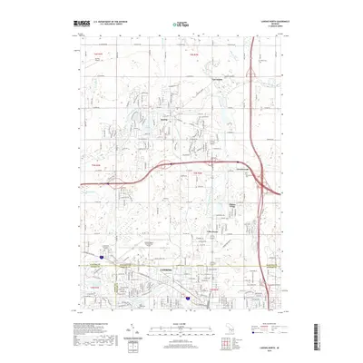
1965 Lansing North
Clinton County, MI
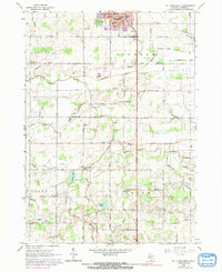
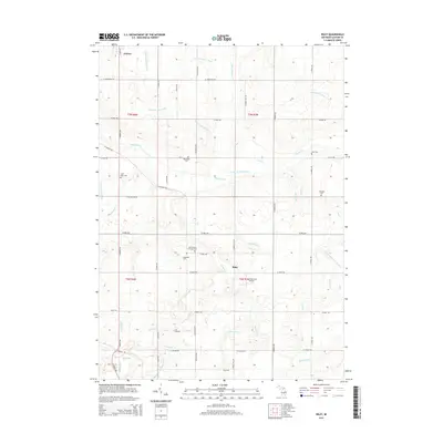
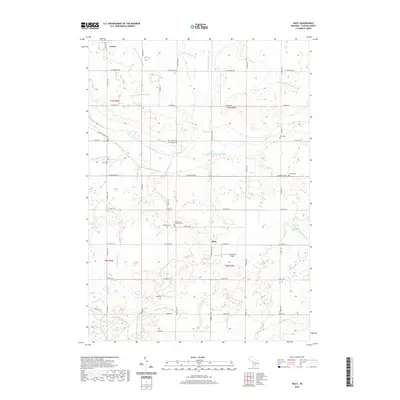
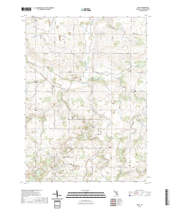
1965 Riley
Clinton County, MI
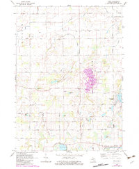
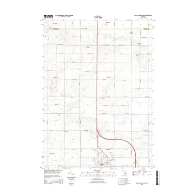
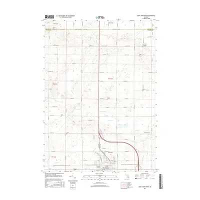
1965 St. Johns North
Clinton County, MI
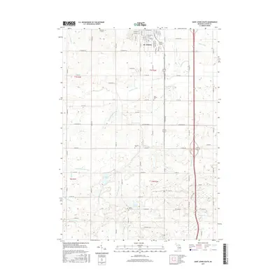
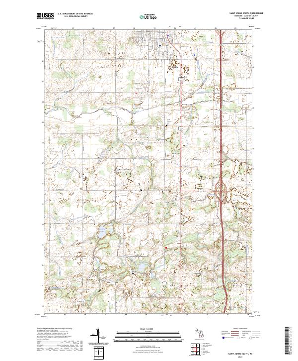
1965 St. Johns South
Clinton County, MI
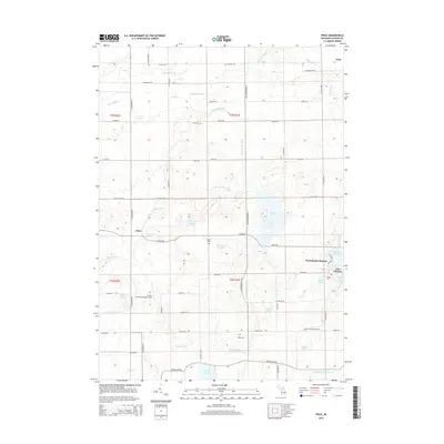
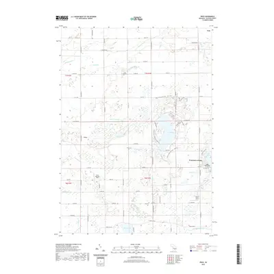
1972 Price
Clinton County, MI
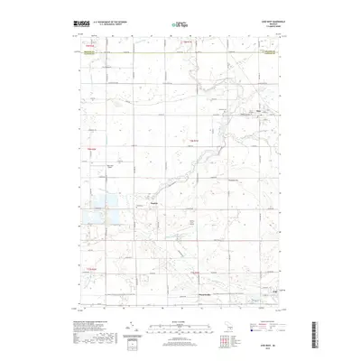
1974 Ovid West
Clinton County, MI
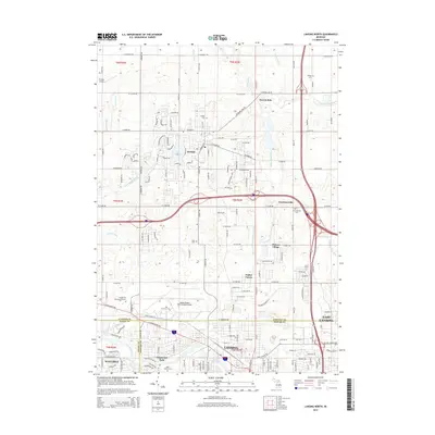
2011 Lansing North
Clinton County, MI
2011 Ovid West
Clinton County, MI
2011 Price
Clinton County, MI
2011 Saint Johns North
Clinton County, MI
2011 Saint Johns South
Clinton County, MI
2012 Riley
Clinton County, MI
2014 Lansing North
Clinton County, MI
2014 Ovid West
Clinton County, MI
2014 Price
Clinton County, MI
2014 Riley
Clinton County, MI
2014 Saint Johns North
Clinton County, MI
2014 Saint Johns South
Clinton County, MI
2017 Lansing North
Clinton County, MI
2017 Ovid West
Clinton County, MI
2017 Price
Clinton County, MI
2017 Riley
Clinton County, MI
2017 Saint Johns North
Clinton County, MI
2017 Saint Johns South
Clinton County, MI
2019 Lansing North
Clinton County, MI
2019 Ovid West
Clinton County, MI
2019 Price
Clinton County, MI
2019 Riley
Clinton County, MI
2019 Saint Johns North
Clinton County, MI
2019 Saint Johns South
Clinton County, MI
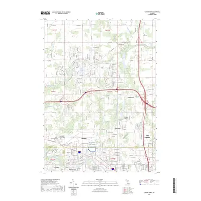
2023 Lansing North
Clinton County, MI
2023 Ovid West
Clinton County, MI
2023 Price
Clinton County, MI
2023 Riley
Clinton County, MI
2023 Saint Johns North
Clinton County, MI
2023 Saint Johns South
Clinton County, MI