
1957 Map of Dead Tiger Creek
USGS Topo · Published 1959About this map
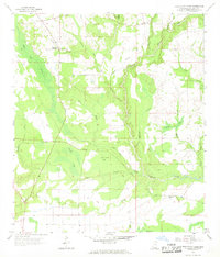
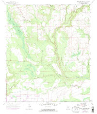
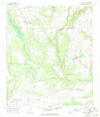
Hancock County's interior wetlands and timberlands are defined by the winding course of Catahoula Creek and its many tributaries in this late 1950s survey. The landscape is a network of sprawling marshy depressions known locally as bays, including Sam Farve Bay, Double Bay, and Wolf Bay. These features, alongside Dead Tiger Creek, suggest a terrain shaped by heavy seasonal drainage and lowland pine forests.
Find a feature on this map
24 named features on this map. Tap any name to fly to it.
Don’t see what you’re looking for? This feature index may not catch every label — zoom into the map to look around manually.
Map Details
Editions of this 1957 Dead Tiger Creek Map
4 editions found
Other maps of this area

1914 · Nicholson
USGS Topo · 1:62,500

1921 · Nicholson
USGS Topo · 1:62,500

1941 · Honey Island
USGS Topo · 1:31,680

1950 · Haaswood
USGS Topo · 1:31,680

1953 · Mobile
USGS Topo · 1:250,000

1954 · Haaswood
USGS Topo · 1:31,680

1955 · Savannah
USGS Topo · 1:62,500

1955 · Nicholson
USGS Topo · 1:24,000

1956 · Waveland
USGS Topo · 1:24,000

1957 · Mobile
USGS Topo · 1:250,000