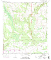
1957 Map of Dead Tiger Creek
USGS Topo · Published 1971About this map
Low-lying wetlands and complex drainage systems dominate this Hancock County landscape, where the southern portion is notably marked by the Mississippi Test Facility (NASA). This massive installation represents a mid-century shift in land use, contrasting with the rural, agrarian character of the surrounding terrain. Scattered community landmarks like Bienville Ch and Harmony Ch appear alongside signs of a changing population, including the Flattop Sch (Abandoned).
Find a feature on this map
32 named features on this map. Tap any name to fly to it.
Don’t see what you’re looking for? This feature index may not catch every label — zoom into the map to look around manually.
Map Details
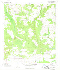
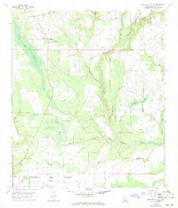
Editions of this 1957 Dead Tiger Creek Map
4 editions found

Other maps of this area

1914 · Nicholson
USGS Topo · 1:62,500

1921 · Nicholson
USGS Topo · 1:62,500

1941 · Honey Island
USGS Topo · 1:31,680

1950 · Haaswood
USGS Topo · 1:31,680

1953 · Mobile
USGS Topo · 1:250,000

1954 · Haaswood
USGS Topo · 1:31,680

1955 · Savannah
USGS Topo · 1:62,500

1955 · Nicholson
USGS Topo · 1:24,000

1956 · Waveland
USGS Topo · 1:24,000

1957 · Mobile
USGS Topo · 1:250,000