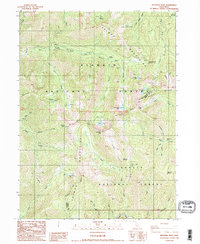
1986 Map of Deadman Peak
USGS Topo · Published 1986About this map
Salmon Mountains dominate this 1980s landscape, serving as a dividing line between the Klamath National Forest and Shasta National Forest. The area is defined by its network of alpine basins and high ridges, including I-Am-Up Ridge and the prominent Deadman Peak. Significant high-altitude water bodies like South Fork Lakes, Twin Lakes, and Long Gulch Lake are scattered throughout the peaks, many accessible only by footpaths.
Find a feature on this map
52 named features on this map. Tap any name to fly to it.
Don’t see what you’re looking for? This feature index may not catch every label — zoom into the map to look around manually.
Map Details
Editions of this 1986 Deadman Peak Map
2 editions found
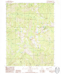
Other maps of this area

1886 · Shasta
USGS Topo · 1:250,000

1894 · Shasta
USGS Topo · 1:250,000

1923 · Sawyers Bar
USGS Topo · 1:125,000

1931 · Etna
USGS Topo · 1:96,000

1934 · Etna
USGS Topo · 1:125,000

1948 · Weed
USGS Topo · 1:250,000

1950 · Weed
USGS Topo · 1:250,000

1955 · Cecilville
USGS Topo · 1:62,500

1955 · Sawyers Bar
USGS Topo · 1:62,500

1955 · Etna
USGS Topo · 1:62,500