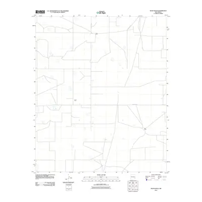
2010 Map of Dean Ranch
USGS Topo · Published 2010About this map
Tulk Oil Field sits at the heart of this high-plains landscape in Lea County, illustrating the industrial footprint of petroleum extraction within the ranching country of eastern New Mexico. This 2010 survey by the U.S. Geological Survey shows a network of access roads and utility lines serving the energy sector, juxtaposed against legacy agricultural holdings. The map records the presence of established local landmarks such as Good Ranch in the north and Dean Ranch toward the southeast. Infrastructure is primarily defined by the intersection of rural thoroughfares, including County Rd-108A and County Rd-117, which provide the essential framework for both livestock operations and mineral development in this arid reach of the Llano Estacado.
Find a feature on this map
5 named features on this map. Tap any name to fly to it.
Don’t see what you’re looking for? This feature index may not catch every label — zoom into the map to look around manually.
Map Details
Editions of this 2010 Dean Ranch Map
This is the sole edition of this map. No revisions or reprints were ever made.
Other maps of this area

1954 · Hobbs
USGS Topo · 1:250,000

1954 · Brownfield
USGS Topo · 1:250,000

1958 · Brownfield
USGS Topo · 1:250,000

1958 · Hobbs
USGS Topo · 1:250,000

1962 · Brownfield
USGS Topo · 1:250,000

1962 · Buckeye
USGS Topo · 1:62,500

1963 · Maljamar
USGS Topo · 1:62,500

1973 · Fort Ranch
USGS Topo · 1:24,000

1973 · Caudill Ranch
USGS Topo · 1:24,000

1973 · Cooper-Good Ranch
USGS Topo · 1:24,000