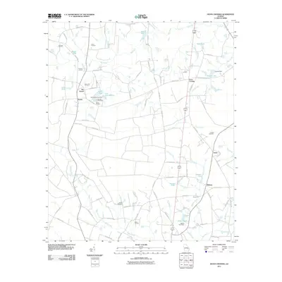
2011 Map of Deans Crossing
USGS Topo · Published 2011About this map
Deans Crossing and the surrounding rural landscape of Evans County are defined by a network of family-named water bodies and cemeteries that trace the area’s agricultural roots. Small settlements such as Jennie, Midway, and Bay Branch are linked by a complex web of county roads that cross the drainage basins of Bull Creek and Beards Creek. The map reveals the importance of water management in this terrain, with numerous small impoundments including Durrence Pond, Collins Pond, and Brazell Pond dotting the map.
Find a feature on this map
84 named features on this map. Tap any name to fly to it.
Don’t see what you’re looking for? This feature index may not catch every label — zoom into the map to look around manually.
Map Details
Editions of this 2011 Deans Crossing Map
This is the sole edition of this map. No revisions or reprints were ever made.
Other maps of this area

1919 · Claxton
USGS Topo · 1:62,500

1920 · Glennville
USGS Topo · 1:62,500

1944 · Claxton
USGS Topo · 1:62,500

1944 · Glennville
USGS Topo · 1:62,500

1946 · Brunswick
USGS Topo · 1:250,000

1947 · Savannah
USGS Topo · 1:250,000

1948 · Brunswick
USGS Topo · 1:250,000

1948 · Savannah
USGS Topo · 1:250,000

1950 · Glennville
USGS Topo · 1:62,500

1950 · Claxton
USGS Topo · 1:62,500