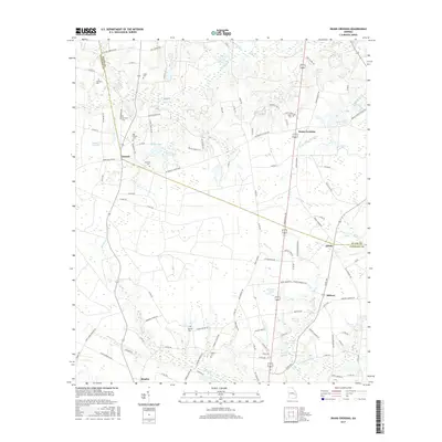
2017 Map of Deans Crossing
USGS Topo · Published 2017About this map
Deans Crossing and the surrounding rural landscape of South Georgia are defined by a network of family-named roads and scattered settlements across the Evans Co and Tattnall Co line. This 2017 survey reflects a resilient agrarian pattern where small communities like Jennie, Midway, and Mendes are linked by local connectors such as Bay Branch Church Rd and Durrence Purvis Rd. The terrain is characterized by numerous small bodies of water and creek systems, including Bull Cr, Blocker Cr, and Canoochee Cr, which feed into various ponds like Brazell Pond and Dyess Pond. For those tracing family histories, the map identifies several local burial grounds including Union Cem, Kennedy Cem, and Dowdy Cem, often located near the churches and crossroads that have served these communities for generations.
Find a feature on this map
112 named features on this map. Tap any name to fly to it.
Don’t see what you’re looking for? This feature index may not catch every label — zoom into the map to look around manually.
Map Details
Editions of this 2017 Deans Crossing Map
This is the sole edition of this map. No revisions or reprints were ever made.
Other maps of this area

1919 · Claxton
USGS Topo · 1:62,500

1920 · Glennville
USGS Topo · 1:62,500

1944 · Claxton
USGS Topo · 1:62,500

1944 · Glennville
USGS Topo · 1:62,500

1946 · Brunswick
USGS Topo · 1:250,000

1947 · Savannah
USGS Topo · 1:250,000

1948 · Brunswick
USGS Topo · 1:250,000

1948 · Savannah
USGS Topo · 1:250,000

1950 · Glennville
USGS Topo · 1:62,500

1950 · Claxton
USGS Topo · 1:62,500