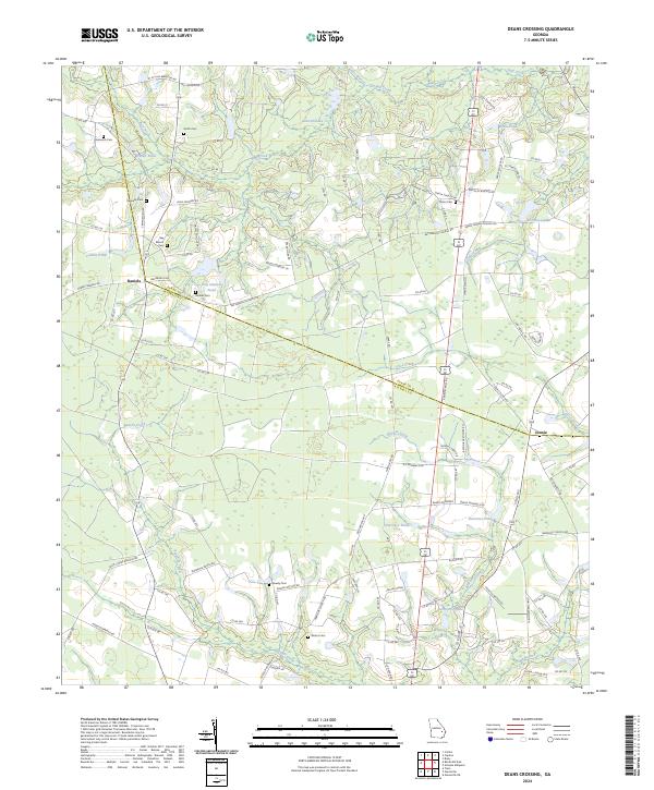
2024 Map of Deans Crossing
USGS Topo · Published 2024About this map
The borderlands of Evans and Tattnall counties are defined by a network of slow-moving waterways and small-scale agriculture. This landscape is characterized by its numerous ponds and creeks, such as Bull Creek and Beards Creek, which thread through the lowlands. The small settlements of Daniels and Jennie serve as local hubs, connected by a grid of county roads bearing the names of early settler families.
Find a feature on this map
109 named features on this map. Tap any name to fly to it.
Don’t see what you’re looking for? This feature index may not catch every label — zoom into the map to look around manually.
Map Details
Editions of this 2024 Deans Crossing Map
This is the sole edition of this map. No revisions or reprints were ever made.
Other maps of this area

1919 · Claxton
USGS Topo · 1:62,500

1920 · Glennville
USGS Topo · 1:62,500

1944 · Claxton
USGS Topo · 1:62,500

1944 · Glennville
USGS Topo · 1:62,500

1946 · Brunswick
USGS Topo · 1:250,000

1947 · Savannah
USGS Topo · 1:250,000

1948 · Brunswick
USGS Topo · 1:250,000

1948 · Savannah
USGS Topo · 1:250,000

1950 · Glennville
USGS Topo · 1:62,500

1950 · Claxton
USGS Topo · 1:62,500