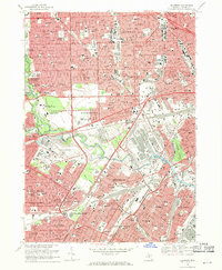
1968 Map of Dearborn
USGS Topo · Published 1970About this map
Greenfield Village and the adjacent Ford Museum anchor the heart of this industrial and residential landscape during a period of significant suburban density. The map reveals the immense footprint of the Proving Ground and the specialized infrastructure supporting the region's automotive legacy, including the complex rail networks of the Pennsylvania RR and the Chesapeake and Ohio. Beyond the industrial corridors, the area is defined by a tight-knit community structure, evidenced by an extraordinary concentration of parochial schools and parish centers like St Suzanne Sch and Our Lady of Heaven Sch.
Find a feature on this map
138 named features on this map. Tap any name to fly to it.
Don’t see what you’re looking for? This feature index may not catch every label — zoom into the map to look around manually.
Map Details
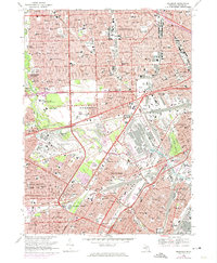
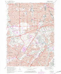
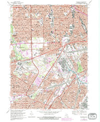
Editions of this 1968 Dearborn Map
4 editions found
Other maps of this area

1905 · Wayne
USGS Topo · 1:62,500

1905 · Detroit
USGS Topo · 1:62,500

1906 · Wyandotte
USGS Topo · 1:62,500

1906 · Romulus
USGS Topo · 1:62,500

1912 · Wyandotte
USGS Topo · 1:62,500

1912 · Wayne
USGS Topo · 1:62,500

1918 · Detroit
USGS Topo · 1:62,500

1924 · Detroit
USGS Topo · 1:62,500

1928 · Romulus
USGS Topo · 1:62,500

1929 · Wyandotte
USGS Topo · 1:62,500