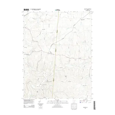
2013 Map of Decatur
USGS Topo · Published 2013About this map
Decatur serves as a central hub in this corner of Southern Ohio, situated at the intersection of Oh-125 and Decatur Eckmansville Rd. The landscape is defined by the winding paths of the West Fork Eagle Creek and E Fork Eagle Cr, which carve through the region's complex system of ridges and hollows. For genealogists, the map is particularly rich with small burial sites, including Liberty Chapel Cem, Bissinger Cem, and the more remote Woods Cem.
Find a feature on this map
68 named features on this map. Tap any name to fly to it.
Don’t see what you’re looking for? This feature index may not catch every label — zoom into the map to look around manually.
Map Details
Editions of this 2013 Decatur Map
This is the sole edition of this map. No revisions or reprints were ever made.
Other maps of this area

1915 · Maysville
USGS Topo · 1:62,500

1918 · Seaman
USGS Topo · 1:62,500

1919 · Maysville
USGS Topo · 1:62,500

1928 · Higginsport
USGS Topo · 1:48,000

1929 · Springdale
USGS Topo · 1:48,000

1931 · Higginsport
USGS Topo · 1:62,500

1935 · Springdale
USGS Topo · 1:62,500

1952 · Maysville East
USGS Topo · 1:24,000

1952 · Maysville West
USGS Topo · 1:24,000
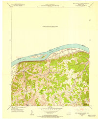
1952 · Manchester Islands
USGS Topo · 1:24,000