
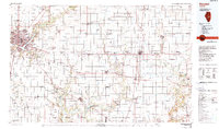
1985 Map of Decatur
USGS Topo · Published 1985About this map
Decatur and its surrounding agricultural plains in central Illinois are defined by an intricate network of river systems and heavy rail infrastructure in this mid-1980s planimetric study. The city itself sits at the heart of a railroad hub where the Norfolk and Western RR and Illinois Central Gulf RR intersect near Lake Decatur. Beyond the urban core, the landscape transitions into a series of smaller farming settlements like Cerro Gordo, Bement, and Atwood, connected by the Baltimore and Ohio RR.
Find a feature on this map
138 named features on this map. Tap any name to fly to it.
Don’t see what you’re looking for? This feature index may not catch every label — zoom into the map to look around manually.
Map Details
Editions of this 1985 Decatur Map
2 editions found
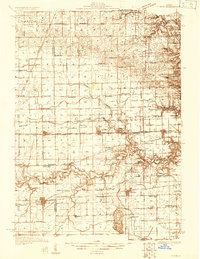
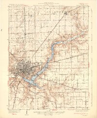
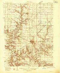
Other maps of this area
1906 · Urbana
USGS Topo · 1:62,500
1907 · Mahomet
USGS Topo · 1:62,500
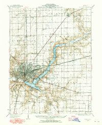
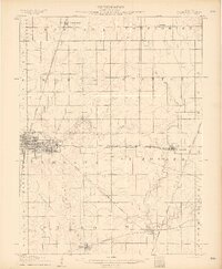
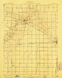
1929 · Decatur
USGS Topo · 1:62,500
1931 · Fithian
USGS Topo · 1:48,000
1933 · Decatur
USGS Topo · 1:62,500

1933 · Toledo
USGS Topo · 1:62,500

1934 · Mattoon
USGS Topo · 1:62,500

1935 · Arcola
USGS Topo · 1:48,000
1935 · Sullivan
USGS Topo · 1:48,000
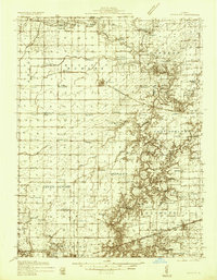
1936 · Oakland
USGS Topo · 1:48,000