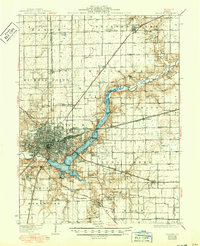
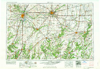
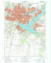
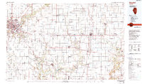
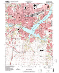
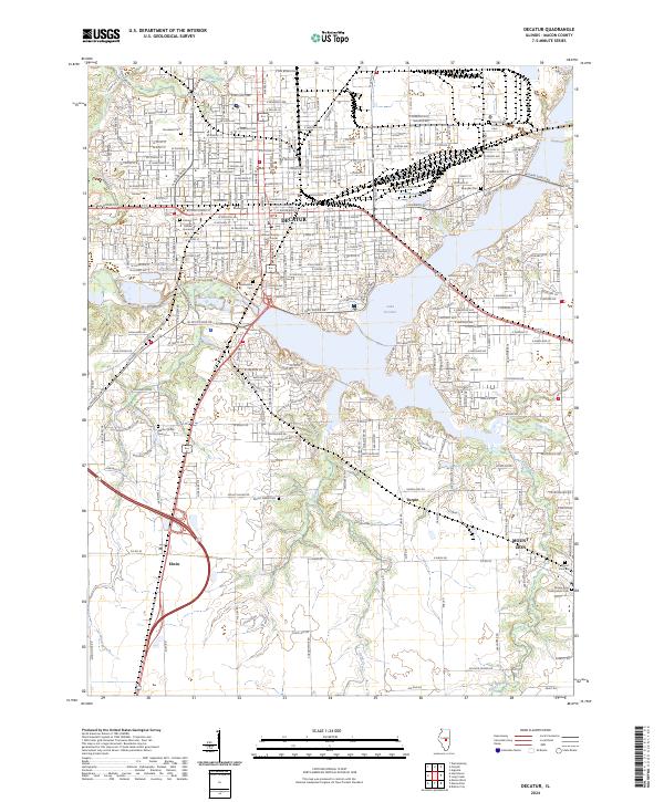
1958 Map of Decatur
USGS Topo · Published 1971About this map
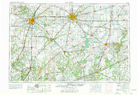
Central Illinois during the mid-20th century transition reveals a dense network of rail lines and newly forming reservoirs. The state capital at Springfield and the industrial hub of Decatur anchor this region, connected by a web of historic railroads including the Penn Central, Illinois Central, and the Baltimore and Ohio. The landscape is defined by the winding paths of the Sangamon River and Kaskaskia River, which feed significant water bodies like the Shelbyville Reservoir and Lake Decatur. Cultural and historical landmarks are prominently featured, such as the Lincoln Log Cabin State Park near Charleston, reflecting the deep ties to the 16th president in this part of the state. Smaller coal-belt and agricultural communities like Gillespie, Mount Olive, and Nokomis show the settlement patterns that sustained the area's economy before the full expansion of the interstate system.
Find a feature on this map
116 named features on this map. Tap any name to fly to it.
Don’t see what you’re looking for? This feature index may not catch every label — zoom into the map to look around manually.
Map Details
Editions of this 1958 Decatur Map
3 editions found
Historical Maps of Old Hickory Through Time
8 maps found