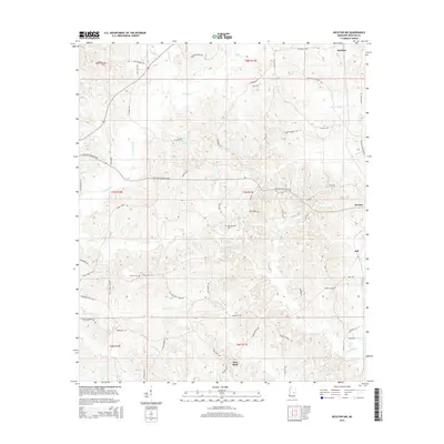
2015 Map of Decatur NW
USGS Topo · Published 2015About this map
Decatur and the surrounding rural townships in Newton County are defined by a dense network of watercourses and family-named roads in the mid-2010s. The headwaters of Conehatta Cr and Okatibbee Cr drain this hilly interior, while local settlements like Stratton and Jeff anchor the agricultural landscape. Genealogists will find particular value in the documentation of the Hollingsworth Cem near Turkey Cr and the Bufkin Cem further west, both of which serve as important landmarks for local family history research.
Find a feature on this map
73 named features on this map. Tap any name to fly to it.
Don’t see what you’re looking for? This feature index may not catch every label — zoom into the map to look around manually.
Map Details
Editions of this 2015 Decatur NW Map
This is the sole edition of this map. No revisions or reprints were ever made.
Other maps of this area

1921 · Forest
USGS Topo · 1:48,000

1922 · Forest
USGS Topo · 1:62,500

1950 · Forest
USGS Topo · 1:62,500

1952 · Forest
USGS Topo · 1:62,500

1953 · Meridian
USGS Topo · 1:250,000

1957 · Meridian
USGS Topo · 1:250,000

1965 · Meridian
USGS Topo · 1:250,000

1966 · Hickory
USGS Topo · 1:24,000

1966 · Newton
USGS Topo · 1:24,000

1966 · Decatur NW
USGS Topo · 1:24,000