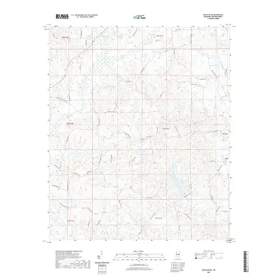
2020 Map of Decatur NW
USGS Topo · Published 2020About this map
The northwest corner of Decatur and the settlement of Jeff anchor this portion of Newton County, where the landscape is defined by the branching tributaries of the Pascagoula River basin. Headwater streams including Pumpkin Cr, Brushy Cr, and Okohatta Cr carve through the terrain, punctuated by significant local water bodies like County Pond and Spring Lake. The area's genealogical value is centered on several small burial sites, notably the Indian Cem in the northern reaches, alongside the Hollingsworth Cem and Bufkin Cem.
Find a feature on this map
75 named features on this map. Tap any name to fly to it.
Don’t see what you’re looking for? This feature index may not catch every label — zoom into the map to look around manually.
Map Details
Editions of this 2020 Decatur NW Map
This is the sole edition of this map. No revisions or reprints were ever made.
Other maps of this area
1921 · Forest
USGS Topo · 1:48,000
1922 · Forest
USGS Topo · 1:62,500
1950 · Forest
USGS Topo · 1:62,500
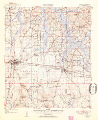
1952 · Forest
USGS Topo · 1:62,500

1953 · Meridian
USGS Topo · 1:250,000

1957 · Meridian
USGS Topo · 1:250,000

1965 · Meridian
USGS Topo · 1:250,000
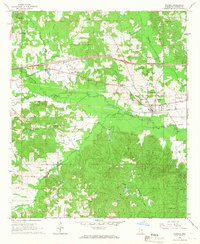
1966 · Hickory
USGS Topo · 1:24,000
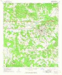
1966 · Newton
USGS Topo · 1:24,000
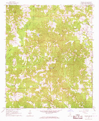
1966 · Decatur NW
USGS Topo · 1:24,000