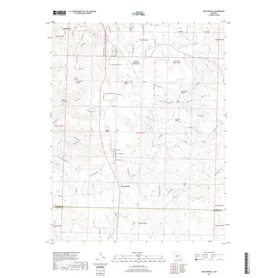
2017 Map of Decaturville
USGS Topo · Published 2017About this map
Decaturville serves as a central landmark in this 2017 survey of the Missouri Ozarks, situated near the boundary where Camden and Laclede counties meet. The landscape is defined by a dense network of hollows, including Homestead Hollow, Shop Mine Hollow, and Turkeypen Hollow, which drain into several branches of Dry Auglaize Cr. These narrow valleys and the ridge known as Devils Backbone illustrate the deeply dissected topography of the region, where roads often follow the winding high ground or creek beds.
Find a feature on this map
104 named features on this map. Tap any name to fly to it.
Don’t see what you’re looking for? This feature index may not catch every label — zoom into the map to look around manually.
Map Details
Editions of this 2017 Decaturville Map
This is the sole edition of this map. No revisions or reprints were ever made.
Other maps of this area

1888 · Versailles
USGS Topo · 1:125,000

1893 · Versailles
USGS Topo · 1:125,000

1932 · Versailles No 4
USGS Topo · 1:48,000

1933 · Stoutland
USGS Topo · 1:62,500

1934 · Macks Creek
USGS Topo · 1:48,000

1934 · Camdenton
USGS Topo · 1:24,000

1934 · Toronto
USGS Topo · 1:24,000

1934 · Green Bay Terrace
USGS Topo · 1:24,000

1938 · Stoutland
USGS Topo · 1:62,500

1939 · Macks Creek
USGS Topo · 1:62,500