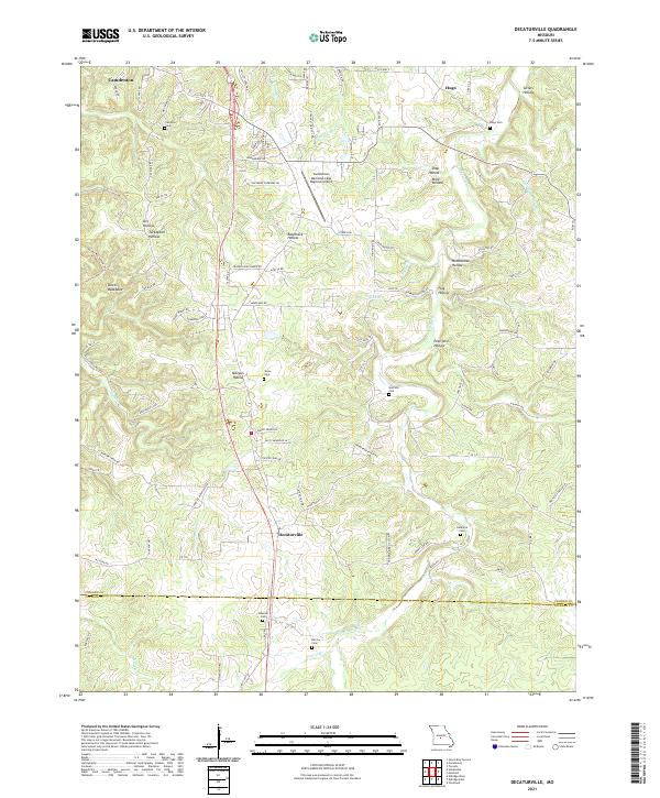
2021 Map of Decaturville
USGS Topo · Published 2021About this map
Decaturville sits at the heart of this landscape where the undulating Ozark topography meets the transition from Camden County into Laclede County. The terrain is defined by a dense network of hollows, including Turkeypen Hollow and the distinctive Devils Backbone, while the Dry Auglaize Creek and its tributaries like Prairie Branch carve through the southern reaches. Numerous family and community burial grounds, such as Stone Cemetery and Garrison Cemetery, are scattered across the quadrangle, serving as vital markers for local genealogists. The presence of the Camdenton Memorial-Lake Regional Airport and settlements like Hugo illustrate the ongoing development of this region, balanced between its agricultural roots and modern infrastructure. This 2021 study documents the established road networks, from State Highway V to remote tracks like Turkey Pen Hollow Trail, that navigate the area's intricate ridges.
Find a feature on this map
98 named features on this map. Tap any name to fly to it.
Don’t see what you’re looking for? This feature index may not catch every label — zoom into the map to look around manually.
Map Details
Editions of this 2021 Decaturville Map
This is the sole edition of this map. No revisions or reprints were ever made.
Other maps of this area

1888 · Versailles
USGS Topo · 1:125,000

1893 · Versailles
USGS Topo · 1:125,000

1932 · Versailles No 4
USGS Topo · 1:48,000

1933 · Stoutland
USGS Topo · 1:62,500

1934 · Macks Creek
USGS Topo · 1:48,000

1934 · Camdenton
USGS Topo · 1:24,000

1934 · Toronto
USGS Topo · 1:24,000

1934 · Green Bay Terrace
USGS Topo · 1:24,000

1938 · Stoutland
USGS Topo · 1:62,500

1939 · Macks Creek
USGS Topo · 1:62,500