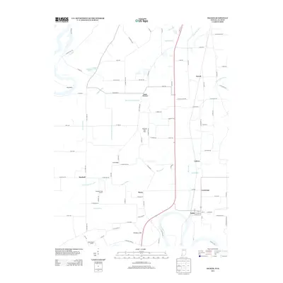
2013 Map of Decker
USGS Topo · Published 2013About this map
The White River winds through the southern portion of this landscape, anchoring a complex network of drainage features such as Swan Pond Ditch and Plass Ditch that define the agricultural character of Knox County. Small settlements and crossroads like Saint Thomas and Purcell are linked by a grid of rural roads, including several named for local families and landmarks such as S Ruppel Rd and S Yochum Rd. The topography is punctuated by distinct rises like the Dicksburg Hills and Chimney Pier Hills, which overlook the surrounding bottomlands and the meandering course of the River Deshee. Local aviation is represented by Bandmill Field Airport and Snider Field Airport, while the town of Decker serves as a primary hub near the river. This map captures the modern layout of these farming communities, where named locations like Cantaloupe and Vollmer persist alongside historic water bodies like Horseshoe Pond.
Find a feature on this map
94 named features on this map. Tap any name to fly to it.
Don’t see what you’re looking for? This feature index may not catch every label — zoom into the map to look around manually.
Map Details
Editions of this 2013 Decker Map
This is the sole edition of this map. No revisions or reprints were ever made.
Other maps of this area

1901 · Princeton
USGS Topo · 1:62,500

1902 · Ditney
USGS Topo · 1:125,000

1903 · Petersburg
USGS Topo · 1:62,500

1903 · Princeton
USGS Topo · 1:62,500

1903 · Patoka
USGS Topo · 1:125,000

1915 · Vincennes
USGS Topo · 1:62,500

1942 · Fritchton
USGS Topo · 1:24,000

1944 · Fritchton
USGS Topo · 1:24,000

1944 · Iona
USGS Topo · 1:24,000

1944 · Vincennes
USGS Topo · 1:62,500