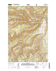
2014 Map of Dee
USGS Topo · Published 2014About this map
Dee and the surrounding Upper Hood River Valley serve as the primary focus of this modern topographical survey, situated at the confluence of the West Fork Hood River and Middle Fork Hood River. The landscape is dominated by the intricate drainage systems of Mount Hood National Forest, including numerous water sources such as Crystal Springs and Japanese Springs. The terrain is defined by prominent elevations like Blowdown Ridge and Trout Creek Ridge, while the local hydrology is managed through the Searra Casa Reservoir. Roadways such as the Dee Hwy and Lost Lake Rd connect the scattered settlements and meadows, including Batts Meadow and Dee Flat. The presence of landmarks like Punchbowl Falls and the Dry Run Bridge highlights the area's geological and structural history, providing a detailed view of the infrastructure and natural features that define this portion of Hood River County.
Find a feature on this map
71 named features on this map. Tap any name to fly to it.
Don’t see what you’re looking for? This feature index may not catch every label — zoom into the map to look around manually.
Map Details
Editions of this 2014 Dee Map
This is the sole edition of this map. No revisions or reprints were ever made.
Other maps of this area

1924 · Mount Hood
USGS Topo · 1:125,000

1926 · Hood River
USGS Topo · 1:125,000

1927 · Mount Hood
USGS Topo · 1:125,000

1929 · Hood River
USGS Topo · 1:125,000

1953 · The Dalles
USGS Topo · 1:250,000

1956 · The Dalles
USGS Topo · 1:250,000

1957 · The Dalles
USGS Topo · 1:250,000

1957 · Bonneville Dam
USGS Topo · 1:62,500

1957 · Hood River
USGS Topo · 1:62,500

1962 · Cathedral Ridge
USGS Topo · 1:24,000