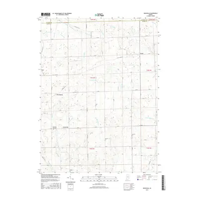
2016 Map of Deedsville
USGS Topo · Published 2016About this map
Deedsville and the surrounding Miami County agricultural landscape are defined by an intricate network of man-made drainage systems and small rural settlements. This modern survey illustrates how water management shapes the Indiana plains, with numerous named channels like Robbins-Taylor Ditch and Wilson Rhodes Ditch supporting the local topography. For genealogists, the map is particularly detailed in its placement of historic burial grounds, including the Independent Order of Odd Fellows Cem and the Musselman Cem. Small clusters of homes and buildings remain centered around Gilead, Macy, and Birmingham, connected by a precise grid of county roads such as W Macy Gilead Rd. Natural watercourses like Weesau Cr and Squirrel Cr wind through the township boundaries, providing a contrast to the geometric agricultural plots.
Find a feature on this map
70 named features on this map. Tap any name to fly to it.
Don’t see what you’re looking for? This feature index may not catch every label — zoom into the map to look around manually.
Map Details
Editions of this 2016 Deedsville Map
This is the sole edition of this map. No revisions or reprints were ever made.
Other maps of this area

1951 · Peru
USGS Topo · 1:24,000

1951 · Twelve Mile
USGS Topo · 1:24,000

1951 · Richvalley
USGS Topo · 1:24,000

1953 · Fort Wayne
USGS Topo · 1:250,000

1953 · Chicago
USGS Topo · 1:250,000

1953 · Danville
USGS Topo · 1:250,000

1953 · Muncie
USGS Topo · 1:250,000

1955 · Danville
USGS Topo · 1:250,000

1956 · Muncie
USGS Topo · 1:250,000

1956 · Danville
USGS Topo · 1:250,000