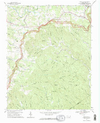
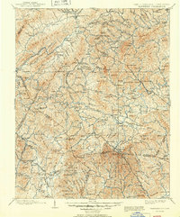
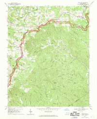
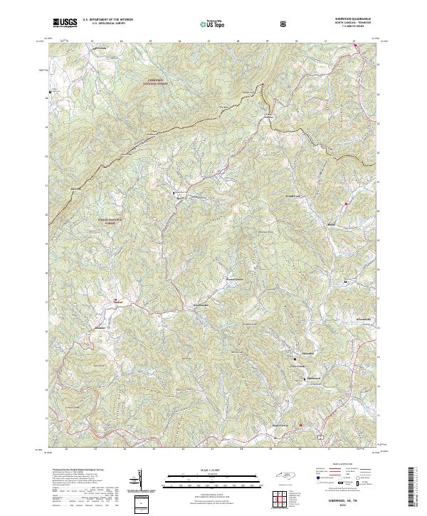
1967 Map of Deep Gap
USGS Topo · Published 1969This historical map portrays the area of Deep Gap in 1967, primarily covering Watauga County as well as portions of Ashe County and Wilkes County. Featuring a scale of 1:24000, this map provides a highly detailed snapshot of the terrain, roads, buildings, counties, and historical landmarks in the Deep Gap region at the time. Published in 1969, it is one of 2 known editions of this map due to revisions or reprints.
Find a feature on this map
112 named features on this map. Tap any name to fly to it.
Don’t see what you’re looking for? This feature index may not catch every label — zoom into the map to look around manually.
Map Details
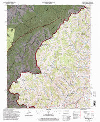
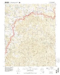
Editions of this 1967 Deep Gap Map
2 editions found
Historical Maps of Watauga County Through Time
11 maps found

1893 Cranberry
Watauga County, NC

1895 Cranberry
Watauga County, NC

1899 Cranberry
Watauga County, NC
1902 Cranberry
Watauga County, NC
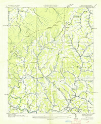
1935 Sherwood
Watauga County, NC
1938 Sherwood
Watauga County, NC
1967 Deep Gap
Watauga County, NC
1994 Sherwood
Watauga County, NC
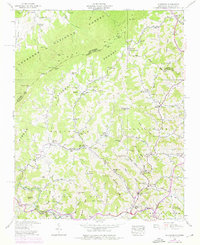
1998 Deep Gap
Watauga County, NC
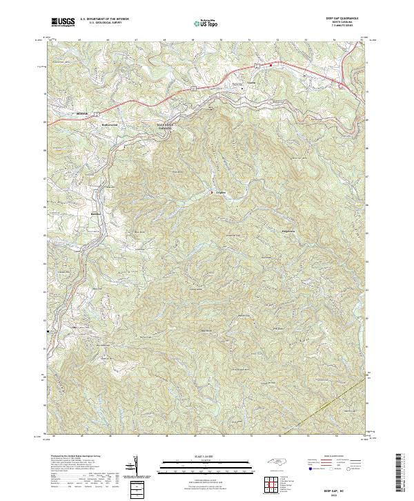
2022 Deep Gap
Watauga County, NC
2022 Sherwood
Watauga County, NC