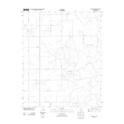
2012 Map of Deep Lake
USGS Topo · Published 2012About this map
Deep Lake and the drainage of N McClellan Cr define this pocket of Gray County, characterized by a sprawling network of ranch roads and remote landholdings. In the early 21st century, the landscape remains a testament to the enduring cattle-ranching culture of the Texas Panhandle, anchored by the Taylor Rnch. The map reveals a grid of rural infrastructure where thoroughfares like Deep Lake Rd and Ranch Road 2477 connect isolated residential and agricultural sites such as Ritter, Ragsdale, and Wills. Notable topography includes the winding path of Crooked Canyon Rd, which traces the natural contours of the local breaks. This survey captures a moment of modern rural life, documenting the specific naming conventions of local families on landmarks like Ford Thomas and Mackie Rd.
Find a feature on this map
29 named features on this map. Tap any name to fly to it.
Don’t see what you’re looking for? This feature index may not catch every label — zoom into the map to look around manually.
Map Details
Editions of this 2012 Deep Lake Map
This is the sole edition of this map. No revisions or reprints were ever made.
Other maps of this area

1954 · Amarillo
USGS Topo · 1:250,000

1958 · Amarillo
USGS Topo · 1:250,000

1960 · Groom
USGS Topo · 1:62,500

1964 · Jericho
USGS Topo · 1:24,000

1964 · Rockledge
USGS Topo · 1:24,000

1966 · Grandview School
USGS Topo · 1:24,000

1966 · Kingsmill
USGS Topo · 1:24,000

1966 · Bowers City
USGS Topo · 1:24,000

1967 · Lefors
USGS Topo · 1:24,000

1968 · Taylor Ranch
USGS Topo · 1:24,000