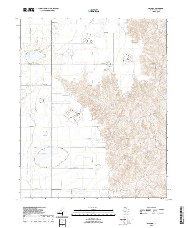
2022 Map of Deep Lake
USGS Topo · Published 2022About this map
Wakefield Lake and the branching drainage of North McClellan Creek define this portion of the Texas Panhandle in Gray County. The landscape is marked by a network of ranching and farm roads that trace the property lines and topography of the high plains. Significant family-named landmarks such as Taylor Ranch HQ and Gray Bros indicate the enduring legacy of large-scale cattle operations in this region.
Find a feature on this map
32 named features on this map. Tap any name to fly to it.
Don’t see what you’re looking for? This feature index may not catch every label — zoom into the map to look around manually.
Map Details
Editions of this 2022 Deep Lake Map
This is the sole edition of this map. No revisions or reprints were ever made.
Other maps of this area

1954 · Amarillo
USGS Topo · 1:250,000

1958 · Amarillo
USGS Topo · 1:250,000

1960 · Groom
USGS Topo · 1:62,500

1964 · Jericho
USGS Topo · 1:24,000

1964 · Rockledge
USGS Topo · 1:24,000

1966 · Grandview School
USGS Topo · 1:24,000

1966 · Kingsmill
USGS Topo · 1:24,000

1966 · Bowers City
USGS Topo · 1:24,000

1967 · Lefors
USGS Topo · 1:24,000

1968 · Taylor Ranch
USGS Topo · 1:24,000