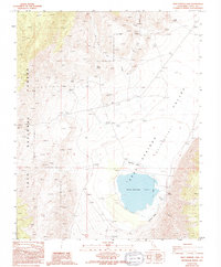
1987 Map of Deep Springs Lake
USGS Topo · Published 1994About this map
Deep Springs Lake and the vast Deep Springs Depression dominate this arid landscape on the eastern edge of Inyo National Forest. This high-altitude basin reveals a complex network of water sources essential for life in the high desert, from Birch Creek and Beer Creek in the northern mountains to a string of named desert springs. Geologic features like The Elephant and Crystal Peak tower over the valley floor, which is crisscrossed by established 4WD routes. The presence of several prospects and a Borrow Pit suggests a history of mineral exploration and small-scale excavation throughout these rocky slopes. This 1980s era survey captures the basin just before the turn of the millennium, documenting the fragile water-driven geography of the Valley and its surrounding canyons like Payson Canyon.
Find a feature on this map
26 named features on this map. Tap any name to fly to it.
Don’t see what you’re looking for? This feature index may not catch every label — zoom into the map to look around manually.
Map Details
Editions of this 1987 Deep Springs Lake Map
2 editions found
Other maps of this area

1908 · Lida
USGS Topo · 1:250,000

1913 · Bishop
USGS Topo · 1:125,000

1913 · Lida
USGS Topo · 1:250,000

1947 · Mariposa
USGS Topo · 1:250,000

1948 · Mariposa
USGS Topo · 1:250,000

1951 · Blanco Mountain
USGS Topo · 1:62,500

1951 · Waucoba Mtn.
USGS Topo · 1:62,500

1954 · Goldfield
USGS Topo · 1:250,000

1955 · Goldfield
USGS Topo · 1:250,000

1957 · Mariposa
USGS Topo · 1:250,000