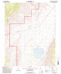
1994 Map of Deep Springs Lake
USGS Topo · Published 1997About this map
Deep Springs Lake sits at the heart of this high-desert basin, a terminal drainage feature located within the Deep Springs Depression. This 1994 revision, updated by the Forest Service, documents the hydrology of the eastern Inyo National Forest and the adjacent alkali sink. The landscape is defined by its water sources, from the Bog Mound Springs and Corral Springs at the lake's edge to mountain drainages like Beer Creek and Birch Creek. A small-scale ranching and mining presence is indicated by several prospects, a Borrow Pit, and Corrals. Geologic features like The Elephant and Payson Canyon break the basin's symmetry, while a Levee near the lake's southern shore suggests historical attempts at water management in this arid environment.
Find a feature on this map
23 named features on this map. Tap any name to fly to it.
Don’t see what you’re looking for? This feature index may not catch every label — zoom into the map to look around manually.
Map Details
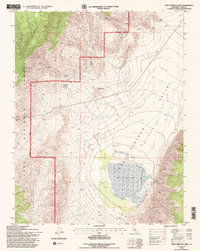
Editions of this 1994 Deep Springs Lake Map
2 editions found
Other maps of this area

1908 · Lida
USGS Topo · 1:250,000

1913 · Bishop
USGS Topo · 1:125,000

1913 · Lida
USGS Topo · 1:250,000

1947 · Mariposa
USGS Topo · 1:250,000

1948 · Mariposa
USGS Topo · 1:250,000

1951 · Blanco Mountain
USGS Topo · 1:62,500

1951 · Waucoba Mtn.
USGS Topo · 1:62,500

1954 · Goldfield
USGS Topo · 1:250,000

1955 · Goldfield
USGS Topo · 1:250,000

1957 · Mariposa
USGS Topo · 1:250,000