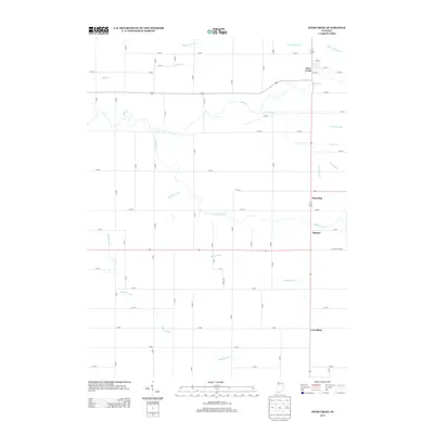
2013 Map of Deer Creek
USGS Topo · Published 2013About this map
Deer Creek and several small rural settlements characterize this Carroll County landscape, which is defined by an intricate network of waterways and agricultural drainage. The namesake Deer Creek meanders through the northern section of the quadrangle, joined by tributaries such as Little Deer Creek and Paint Creek. The importance of managed drainage to this farming region is evident in the numerous named channels, including Gukien Cohee Ditch, Ridenour Ditch, and McCloskey Ditch, which intersect the rigid grid of county roads.
Find a feature on this map
63 named features on this map. Tap any name to fly to it.
Don’t see what you’re looking for? This feature index may not catch every label — zoom into the map to look around manually.
Map Details
Editions of this 2013 Deer Creek Map
This is the sole edition of this map. No revisions or reprints were ever made.
Other maps of this area

1953 · Danville
USGS Topo · 1:250,000

1955 · Danville
USGS Topo · 1:250,000

1955 · Anoka
USGS Topo · 1:24,000

1956 · Danville
USGS Topo · 1:250,000

1959 · Young America
USGS Topo · 1:24,000

1961 · Russiaville
USGS Topo · 1:24,000

1961 · Rossville
USGS Topo · 1:24,000

1961 · Burlington
USGS Topo · 1:24,000

1962 · Deer Creek
USGS Topo · 1:24,000

1962 · Flora
USGS Topo · 1:24,000