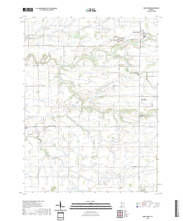
2022 Map of Deer Creek
USGS Topo · Published 2022About this map
Deer Creek anchors this rural landscape in Carroll County, where the township lines of T25N and T24N meet at E Division Line Rd. The area is defined by a dense network of managed waterways, including Ridenour Ditch, Peter Ditch, and Zartman Ditch, which drain the agricultural heartland between small settlements like Wheeling and Sharon. These drainage patterns are central to the region's agricultural history, supporting the fields that surround the local crossroads.
Find a feature on this map
47 named features on this map. Tap any name to fly to it.
Don’t see what you’re looking for? This feature index may not catch every label — zoom into the map to look around manually.
Map Details
Editions of this 2022 Deer Creek Map
This is the sole edition of this map. No revisions or reprints were ever made.
Other maps of this area

1953 · Danville
USGS Topo · 1:250,000

1955 · Danville
USGS Topo · 1:250,000

1955 · Anoka
USGS Topo · 1:24,000

1956 · Danville
USGS Topo · 1:250,000

1959 · Young America
USGS Topo · 1:24,000

1961 · Russiaville
USGS Topo · 1:24,000

1961 · Rossville
USGS Topo · 1:24,000

1961 · Burlington
USGS Topo · 1:24,000

1962 · Deer Creek
USGS Topo · 1:24,000

1962 · Flora
USGS Topo · 1:24,000