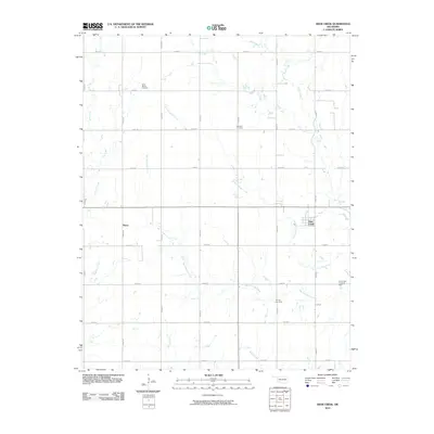
2010 Map of Deer Creek
USGS Topo · Published 2010About this map
Deer Creek and Numa serve as the primary settlement anchors in this northern Oklahoma landscape, defined by a dense network of sectional roads and meandering prairie waterways. The town of Deer Creek is situated near the confluence of Little Antelope Creek and its namesake Deer Creek, reflecting a typical Great Plains township layout. Evidence of the region's burial history is preserved at Saint Marys Cemetery, Darland Cemetery, and Bayard Cemetery, providing essential location data for genealogists and local historians.
Find a feature on this map
31 named features on this map. Tap any name to fly to it.
Don’t see what you’re looking for? This feature index may not catch every label — zoom into the map to look around manually.
Map Details
Editions of this 2010 Deer Creek Map
This is the sole edition of this map. No revisions or reprints were ever made.
Other maps of this area

1955 · Enid
USGS Topo · 1:250,000

1958 · Enid
USGS Topo · 1:250,000

1968 · Lamont NW
USGS Topo · 1:24,000

1968 · Deer Creek
USGS Topo · 1:24,000

1968 · Eddy
USGS Topo · 1:24,000

1968 · Blackwell NW
USGS Topo · 1:24,000

1968 · Nardin
USGS Topo · 1:24,000

1968 · Renfrow
USGS Topo · 1:24,000

1968 · Medford
USGS Topo · 1:24,000

1968 · Lamont
USGS Topo · 1:24,000