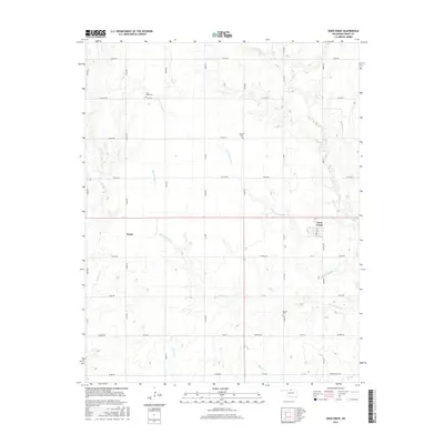
2016 Map of Deer Creek
USGS Topo · Published 2016About this map
Deer Creek and the surrounding plains of Grant County are defined by a rhythmic grid of country roads and the winding paths of several prairie streams. The local topography is carved by the Big Antelope Cr and its counterpart, Little Antelope Cr, which meander through a landscape of section lines and isolated rural burial grounds. These small cemeteries, including Saint Marys Cem in the north and Bayard Cem to the south, provide critical landmarks for genealogists and local historians tracing the families who settled this part of Oklahoma. In the western reaches of the survey, the settlement of Numa sits along the road network near Deadman Cr. The map captures a quintessential agricultural layout where early 21st-century infrastructure follows the original township and range system, preserved alongside watercourses like Polecat Cr and Elm Cr.
Find a feature on this map
46 named features on this map. Tap any name to fly to it.
Don’t see what you’re looking for? This feature index may not catch every label — zoom into the map to look around manually.
Map Details
Editions of this 2016 Deer Creek Map
This is the sole edition of this map. No revisions or reprints were ever made.
Other maps of this area

1955 · Enid
USGS Topo · 1:250,000

1958 · Enid
USGS Topo · 1:250,000

1968 · Lamont NW
USGS Topo · 1:24,000

1968 · Deer Creek
USGS Topo · 1:24,000

1968 · Eddy
USGS Topo · 1:24,000

1968 · Blackwell NW
USGS Topo · 1:24,000

1968 · Nardin
USGS Topo · 1:24,000

1968 · Renfrow
USGS Topo · 1:24,000

1968 · Medford
USGS Topo · 1:24,000

1968 · Lamont
USGS Topo · 1:24,000