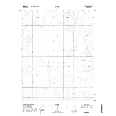
2018 Map of Deer Creek
USGS Topo · Published 2018About this map
Deer Creek anchors this north-central Oklahoma landscape, where the township grid of Grant County is etched across a complex drainage network. The area is defined by the winding paths of Big Antelope Cr and Little Antelope Cr, which carve through the plains alongside smaller tributaries like Polecat Cr and Deadman Cr. This 2018 survey reveals a rural settlement pattern deeply tied to these watercourses and the section-line roads that organize the agricultural terrain.
Find a feature on this map
53 named features on this map. Tap any name to fly to it.
Don’t see what you’re looking for? This feature index may not catch every label — zoom into the map to look around manually.
Map Details
Editions of this 2018 Deer Creek Map
This is the sole edition of this map. No revisions or reprints were ever made.
Other maps of this area

1955 · Enid
USGS Topo · 1:250,000

1958 · Enid
USGS Topo · 1:250,000

1968 · Lamont NW
USGS Topo · 1:24,000

1968 · Deer Creek
USGS Topo · 1:24,000

1968 · Eddy
USGS Topo · 1:24,000

1968 · Blackwell NW
USGS Topo · 1:24,000

1968 · Nardin
USGS Topo · 1:24,000

1968 · Renfrow
USGS Topo · 1:24,000

1968 · Medford
USGS Topo · 1:24,000

1968 · Lamont
USGS Topo · 1:24,000