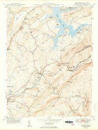
1949 Map of Deer Park
USGS Topo · Published 1949About this map
Deer Park and Mountain Lake Park serve as the primary population centers on this 1940s survey, situated along the critical transport corridor of the Baltimore and Ohio railroad. This region of Garrett County exhibits a landscape where the industrial and recreational intersect, with the northern reaches of the quadrangle dominated by Deep Creek Lake and the Turkey Neck peninsula, while the southern ridges like The Backbone Mountain and Bittinger Hill are dotted with isolated community landmarks.
Find a feature on this map
66 named features on this map. Tap any name to fly to it.
Don’t see what you’re looking for? This feature index may not catch every label — zoom into the map to look around manually.
Map Details
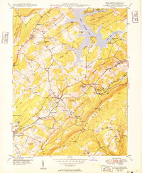
Editions of this 1949 Deer Park Map
2 editions found
Other maps of this area

1895 · Piedmont
USGS Topo · 1:125,000

1899 · Grantsville
USGS Topo · 1:62,500

1899 · Oakland
USGS Topo · 1:62,500

1900 · Accident
USGS Topo · 1:62,500

1900 · Oakland
USGS Topo · 1:62,500

1904 · Grantsville
USGS Topo · 1:62,500

1919 · Elk Garden
USGS Topo · 1:48,000

1920 · Elk Garden
USGS Topo · 1:48,000

1922 · Elk Garden
USGS Topo · 1:62,500
1947 · Sang Run
USGS Topo · 1:24,000