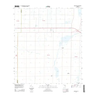
2015 Map of Deer Park SE
USGS Topo · Published 2015About this map
The Saint Johns River corridor dominates this Central Florida landscape, defining a complex system of marshlands and open water. The map documents a significant stretch of the upper river where it transitions through a series of broad, shallow basins including Lake Washington, Sawgrass Lake, and the uniquely named Lake Hellen Blazes. This area is characterized by several "fields," such as North Indian Field and Middle Indian Field, which suggest slightly higher ground or established landings within the pervasive wetlands. Tributaries like Jane Green Cr feed into this system, creating a labyrinth of waterways that includes Puzzle Lake. While most of the terrain remains undeveloped marsh, the presence of Radar Rd and Caracara Ln indicates the sparse road network that began to penetrate the interior as the Brevard and Osceola county line was established.
Find a feature on this map
22 named features on this map. Tap any name to fly to it.
Don’t see what you’re looking for? This feature index may not catch every label — zoom into the map to look around manually.
Map Details
Editions of this 2015 Deer Park SE Map
This is the sole edition of this map. No revisions or reprints were ever made.
Other maps of this area

1949 · Melbourne West
USGS Topo · 1:24,000

1949 · Eau Gallie
USGS Topo · 1:24,000

1951 · Eau Gallie
USGS Topo · 1:24,000

1951 · Melbourne West
USGS Topo · 1:24,000

1953 · Deer Park NE
USGS Topo · 1:24,000

1953 · Fellsmere NW
USGS Topo · 1:24,000

1953 · Deer Park SE
USGS Topo · 1:24,000

1953 · Kenansville
USGS Topo · 1:24,000

1953 · Deer Park NW
USGS Topo · 1:24,000

1953 · Kenansville NE
USGS Topo · 1:24,000