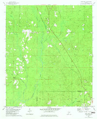
1982 Map of Deer Park
USGS Topo · Published 1982About this map
The Illinois Central Gulf railroad bisects the landscape near the community of Deer Park, where the local terrain transitions from the low-lying wetlands of the Escatawpa River to the higher elevations of Big Sand Hill. This 1982 survey captures a rural Alabama corridor defined by the timber and extractive industries, marked by numerous sandpits and active oil wells concentrated near the southern corporate boundary of Citronelle.
Find a feature on this map
40 named features on this map. Tap any name to fly to it.
Don’t see what you’re looking for? This feature index may not catch every label — zoom into the map to look around manually.
Map Details
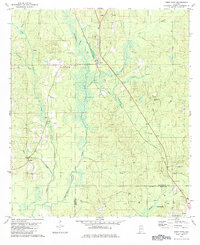
Editions of this 1982 Deer Park Map
2 editions found
Other maps of this area

1942 · Deer Park
USGS Topo · 1:62,500

1943 · Deer Park
USGS Topo · 1:62,500

1943 · Citronelle
USGS Topo · 1:62,500

1943 · McIntosh
USGS Topo · 1:62,500

1944 · McIntosh
USGS Topo · 1:62,500

1946 · Citronelle
USGS Topo · 1:62,500

1953 · Hattiesburg
USGS Topo · 1:250,000

1958 · Hattiesburg
USGS Topo · 1:250,000

1974 · Fruitdale
USGS Topo · 1:24,000

1974 · Vinegar Bend
USGS Topo · 1:24,000