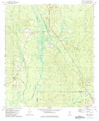
1982 Map of Deer Park
USGS Topo · Published 1984About this map
Deer Park stands as the central hub of this South Alabama landscape, situated along the Illinois Central Gulf railroad line. The settlement pattern is defined by a series of small rural communities and family-associated landmarks, including Weldy Ch, New Light Ch, and Shiloh Ch, each with adjacent cemeteries that provide significant value for genealogical research. The natural topography is shaped by the Escatawpa River and its numerous tributaries such as Yellowhouse Branch and Beech Branch. To the south, the map details the northern outskirts of Citronelle, where the presence of multiple Oil Wells indicates the region's industrial activity. Significant terrain features like Big Sand Hill and Dwight Hill rise above the river valley, while scattered Sandpits point to local extractive industries near the Washington Co and Mobile Co boundary.
Find a feature on this map
29 named features on this map. Tap any name to fly to it.
Don’t see what you’re looking for? This feature index may not catch every label — zoom into the map to look around manually.
Map Details
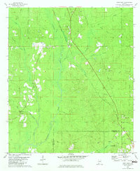
Editions of this 1982 Deer Park Map
2 editions found
Other maps of this area

1942 · Deer Park
USGS Topo · 1:62,500

1943 · Deer Park
USGS Topo · 1:62,500

1943 · Citronelle
USGS Topo · 1:62,500

1943 · McIntosh
USGS Topo · 1:62,500

1944 · McIntosh
USGS Topo · 1:62,500

1946 · Citronelle
USGS Topo · 1:62,500

1953 · Hattiesburg
USGS Topo · 1:250,000

1958 · Hattiesburg
USGS Topo · 1:250,000

1974 · Fruitdale
USGS Topo · 1:24,000

1974 · Vinegar Bend
USGS Topo · 1:24,000